


News
By Steve Davis, May 8, 2009
 |
| Arlington (and Rosslyn) Virginia pre-1962, looking across the Key Bridge into DC. Source unknown. |
| Arlington County is sponsoring a FREE showing of their new film this Monday, May 11, at the Arlington County Central Library for those of you nearby. Find out more information here. Watch it online for free or buy your own copy for $5. |
Arlington is the bit of Virginia just across the Potomac River from the monumental core of Washington, D.C. that leveraged the arrival of two Metro rail lines in the 60's and 70's to renew and revitalize their county into a prosperous, enjoyable and livable community that is a sought-after destination for employers, businesses, residents and visitors.
Today, Arlington is a shining example of what citizen engagement, visionary planning, and wise use of scarce resources can do for the livability of a community.
But it didn't just happen by chance. So how did Arlington get from point A to point B? And more importantly, do the citizens of Arlington have any idea how their county made this transition and became this smart growth success story? Do they even know the story?
Arlington County leaders found that most of their residents — while they could probably point to the Metro as an agent of change — had no idea how their county transformed from the place it once was to the place it is today.
So Arlington County set out to tell their own story of how they did "smart growth" — long before anyone had ever heard of such a term. The result is a fantastic movie called "Arlington's Smart Growth Journey," which will be premiering on Monday May 11 for those of you nearby who would like to come out and watch it. But you don't have to be there to see it. You can watch it for free on the Arlington County website, and buy a DVD copy for just $5. More information here.
In the late 60's, as the Metro was being planned in the region, Arlington's main commercial corridor, Wilson Boulevard, was struggling. The new suburban malls and regional shopping destinations were challenging the aging department stores and other small commercial buildings along the corridor.
Arlington's leaders — supported later by their citizens — saw a great opportunity to turn the addition of Metro's rail system through their county into a magnet for growth and economic development — but in a very specific way.
The leaders at the time engaged their citizens in a long planning process to make sure that they got the kind of growth that they wanted in Arlington, preserving most of the county as it was, but leveraging the investment of Metro into specific areas that would change.
 |
| The Rosslyn-Ballston corridor of Arlington with Metro stops, looking east into Washington, D.C. |
The result — especially in what's known as the Rosslyn-Ballston corridor — is a prime example of a long-term vision realized for better growth that benefits nearly everyone. If you look at the modern photo at right looking east along the corridor towards DC, you can see the taller buildings following the Metro orange line all the way into D.C.
Arlington changed the zoning around each metro station and adopted a plan to require a mix of uses, both residential and office space, and a form of development that was walkable. But their plan also preserved the older neighborhoods in the county, steering growth into this specific corridor. You can see how the corridor steps down in height and density to the older residential neighborhoods.
Today, that corridor, marked roughly by the black lines, holds about 7.6 % of the County's land, yet is responsible for 33% of their real estate tax revenues. And from 1970-2000, 15 million square feet of office space and 15,000 units of housing were built on just 2 square miles of land in a county that was considered at the time to be "built-out." (Source - Reconnecting America, 2003)
One would think that growing from 160,000 people in 1960 to about 206,000 today would bring a huge spike in traffic.
Yet Arlington managed to add thousands of new people, shops, offices, and other destinations into this corridor, and actually reduced traffic on Wilson Boulevard at the same time. The average daily traffic on Wilson Boulevard shrank, from 19,785 in 1980, to 18,873 in the year 2000. 73% of the trips to Metro in this corridor are on foot, and almost half of the residents in the corridor take Metro to work each day.
If there were a few specific keys to their success, among them would certainly be fighting to have the rail line put underground through their county, pushing for a route through the area they wanted revitalized, and making a clear plan and vision for what they wanted to happen as a result.
But the involvement of the community was the most important component.
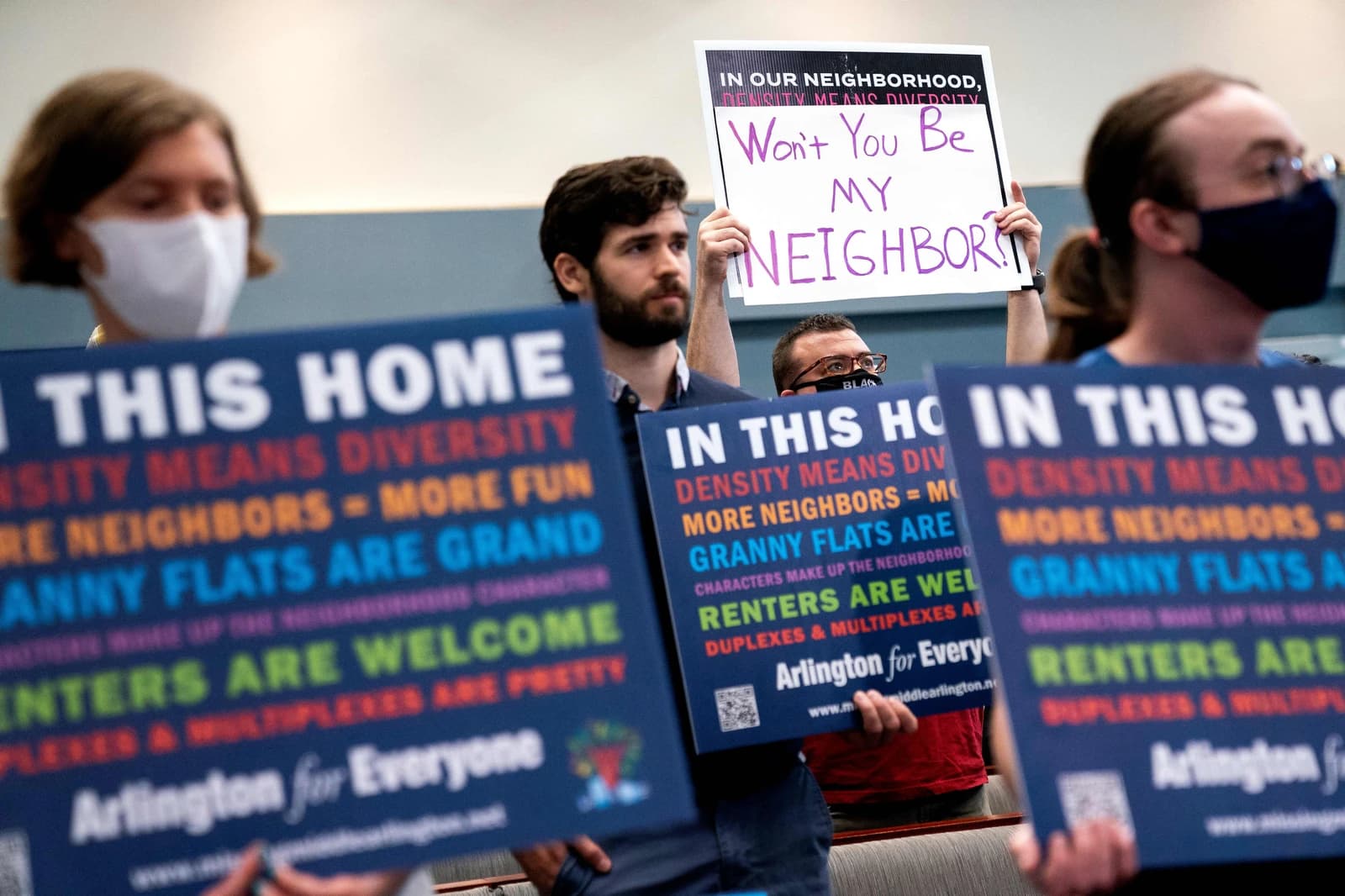
An Arlington resident would probably tell you that the real key is what they call "the Arlington Way," which refers to how the County places great emphasis on citizen input and participation. All the stakeholders are brought to the table, and Arlington residents are very active in the public process and making their voices heard.
Not only did their residents and leaders choose a future for their city, but if you want to live in Arlington, you truly have a range of options. You can live in a suburban house with a two-car garage and a yard, a townhouse, a small apartment building, or a tall condo building on top of the Metro. And when you want to get around, you can drive, walk, bike, or take a train or bus.
And choice is really what smart growth is all about: Providing people with the ability to choose the type of growth they want in their community, and then having a choice for where and how to live.
Because only having one option is no choice at all.
Related News


Livable places. Healthy people. Shared prosperity.


© 2026 Smart Growth America. All rights reserved
Site By3Lane Marketing
