


News
By Guest Contributor, August 6, 2024
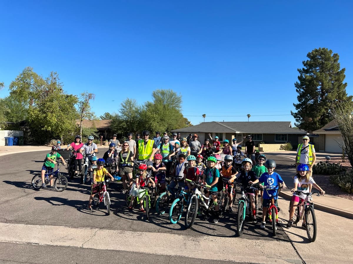
This case study was written as part of our Dangerous by Design Technical Assistance program. This initiative brought together champions from across the country to advance street safety efforts through data collection and storytelling. This study was written by Laura Hardwicke, Safe Mobility Manager at the City of Orlando.

Central Florida has an average of 1,500 residents moving to the region per week, that number is more than double the rate of growth in the United States. There is an urgent need to create a safe, active, and accessible transportation network across all travel modes for residents and visitors alike.
Background
Orlando is home to 316,081 residents, making it the fourth-largest city in Florida, welcoming over 60 million visitors to our area every year. Located in central Florida, the City of Orlando is a vibrant and diverse city known for its enchanting theme parks, cultural richness, and thriving economy. Orlando ranks high for many great lists—best largest city to start a business and best places to live in the US. However, the city also ranks high on Smart Growth America’s most dangerous metro areas for people walking.
Recently dropping from #1 to #8 most deadly metro for people walking, Orlando is beginning to see tangible results from its Vision Zero safety efforts, but the city wants to do more to change its direction.
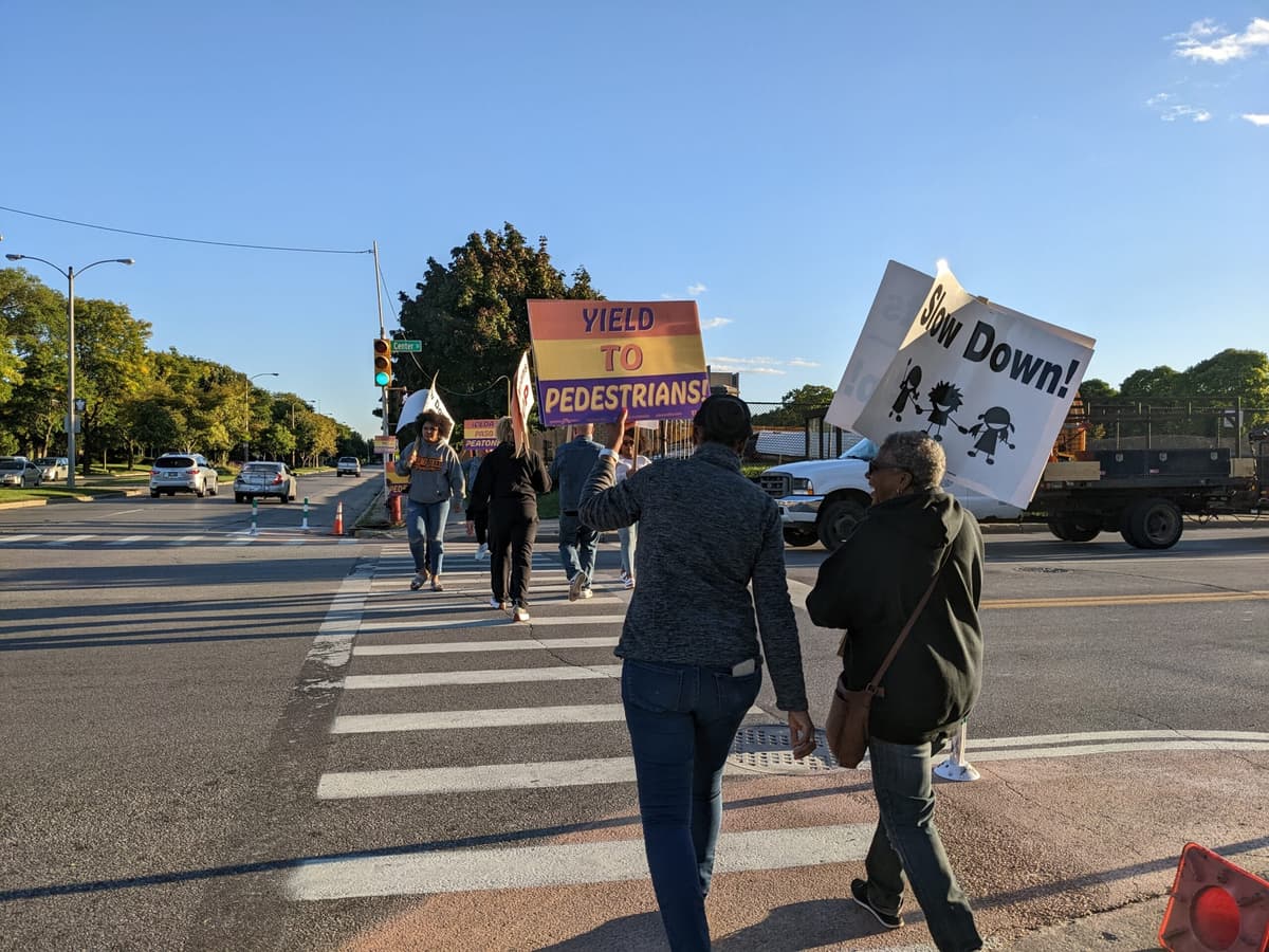
Under the leadership of Mayor Buddy Dyer, the city adopted a resolution committing to Vision Zero with a goal of eliminating traffic deaths and serious injuries by 2040.
Taking action
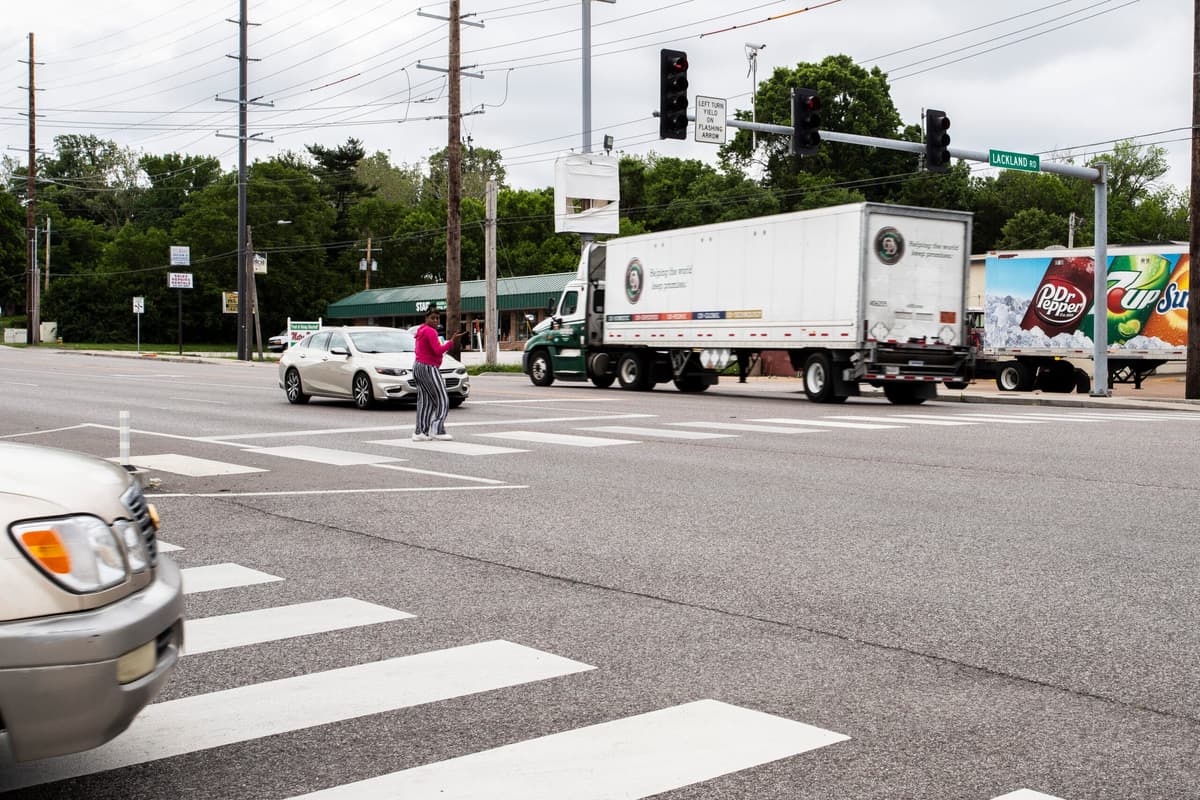
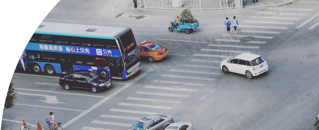
The Vision Zero Orlando Action Plan identified the city’s High Injury Network (HIN) using a risk-based analysis for crashes that occurred from 2013-2017. An updated draft HIN is underway. Both HIN, using data periods ending in 2017 and 2022, feature Orange Avenue as a heightened safety risk, from State Road 50 (aka Colonial Drive) through Downtown Orlando to South Street.
Despite the low posted speed limit, frequent signalized crossings, and major pedestrian generators and transit along Orange Avenue, the corridor still presents a high risk for people walking. As part of the Downtown Orlando Master Plan 2.0, the city’s ultimate goal is to convert the street to a two-way street. This will increase friction for vehicles, creating a traffic calming effect. The added connectivity should improve business access throughout, and increase walkability. However, design and construction for such a project will take years.
In the meantime, the city launched its Quick Build Guide to deliver transportation safety projects today while still planning the infrastructure of tomorrow. The city selected key intersections along Orange Avenue for asphalt art projects—intersection murals, painted curb extensions, and artistic crosswalks. The goal was to increase drivers stopping for people in the crosswalk, and increase pedestrian compliance with walk signals. The city conducted a before and after study to measure the impacts of these projects on pedestrian safety, evaluating the impact of asphalt art on vehicle speeds, crashes, pedestrian-vehicle conflicts, and pedestrian behaviors.


Livable places. Healthy people. Shared prosperity.


© 2026 Smart Growth America. All rights reserved
Site By3Lane Marketing
