


News
By Guest Contributor, May 30, 2024
This case study was written as part of our Dangerous by Design Technical Assistance program. This initiative brought together champions from across the country to advance street safety efforts through data collection and storytelling. This study was written by Justin Seaton from Trailnet.
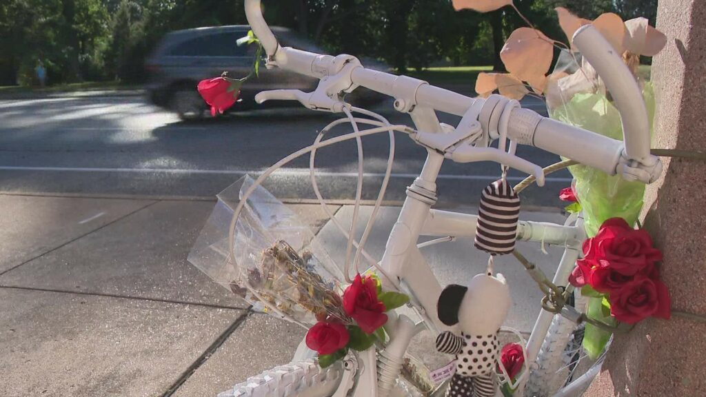
In September 2022, Danyell “Starr” McMiller was killed by a hit-and-run driver while riding his bicycle in the painted bike lane on Grand Blvd near Tower Grove Park in South St. Louis City. Shortly after Danyell’s death, local advocates duct-taped “complimentary” bike helmets to street poles at Grand Blvd intersections, accompanied by a satirical note from the City of St. Louis. The note read:
 “As of October 2022, we hereby suggest that all pedestrians crossing any St. Louis street should wear helmets while crossing such streets until further notice…In a continued effort to be perceived as caring about traffic violence, we are considering studying the issue. In the meantime, please enjoy this complimentary helmet to wear while crossing the street...”
In response to these and other advocacy efforts, the Mayor of the City of St. Louis signed the St. Louis Safer Streets Bill (BB#120) in March 2023, which allocated more than $40 million dollars to infrastructure improvements along the City’s most dangerous corridors, as well as a long-overdue city-wide mobility and transportation master plan.
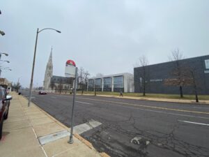
A ghost bike now sits at the intersection of Grand Blvd and Magnolia Ave, in tribute to Danyell’s memory. Many pedestrians and cyclists have died or been injured on St. Louis City streets—including Grand, which remained the city’s highest crash corridor in 2023—in the months since BB#120 was signed.
“Our vision is simple: Streets for All. Streets connect us to each other and to the places we need to go; They make up a massive portion of our built environment; They are places for us ALL to feel safe. St. Louis streets do not currently reflect our vision, but we are hopeful that they CAN.” -Justin Seaton, Trailnet’s Marketing & Communications Manager.
Background
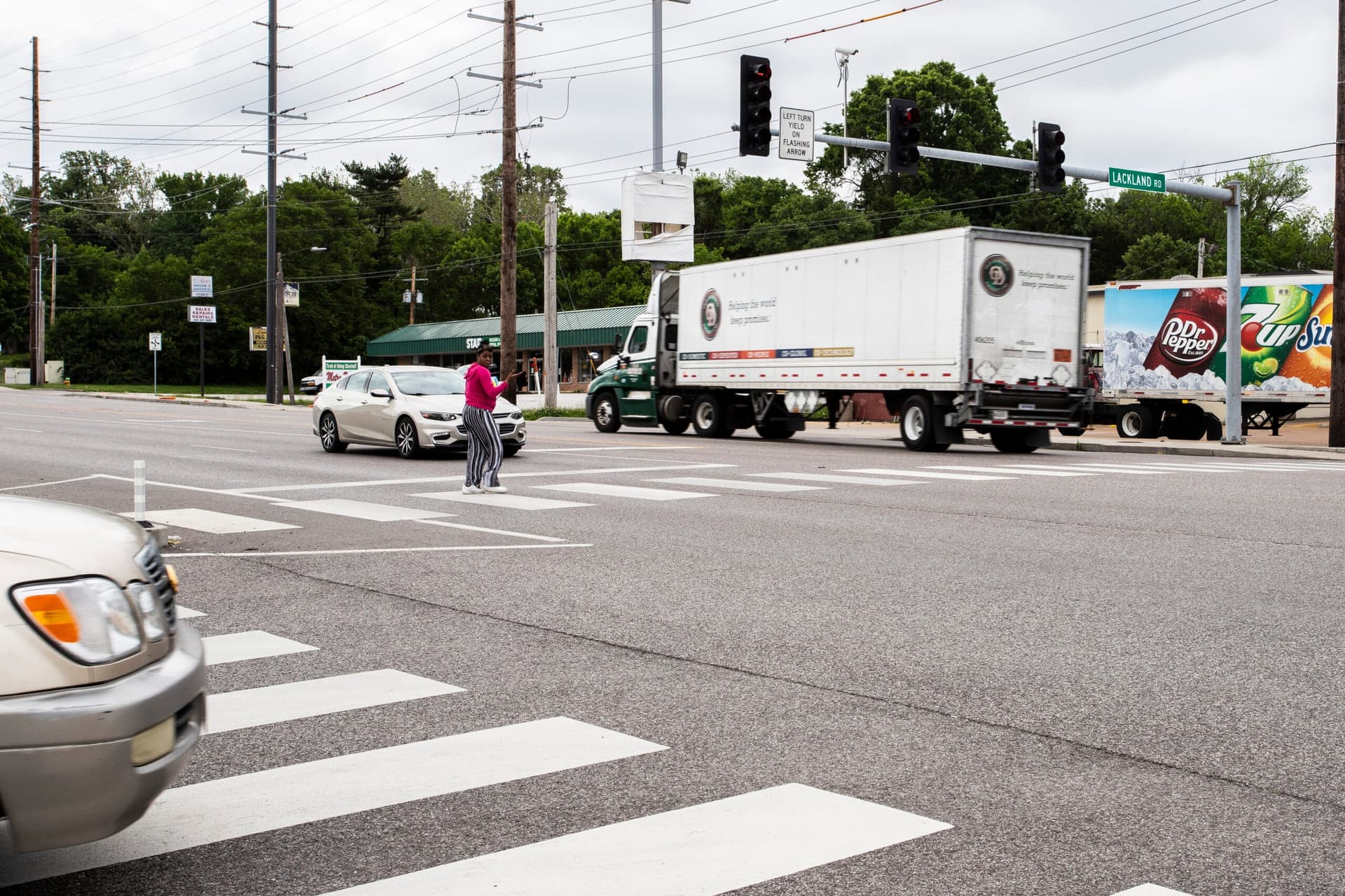
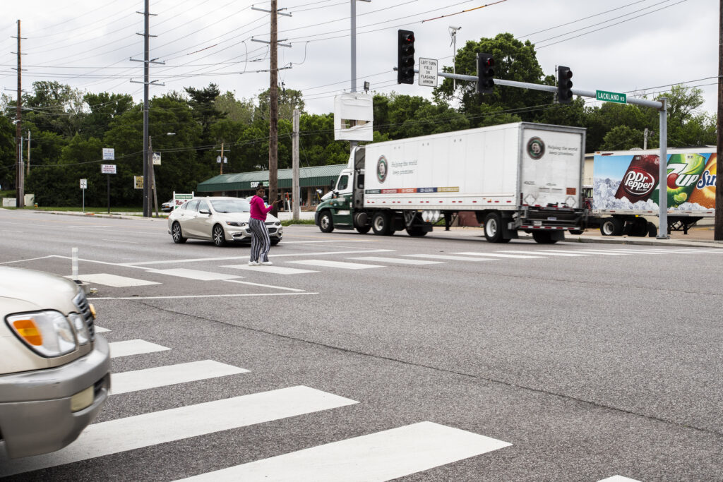
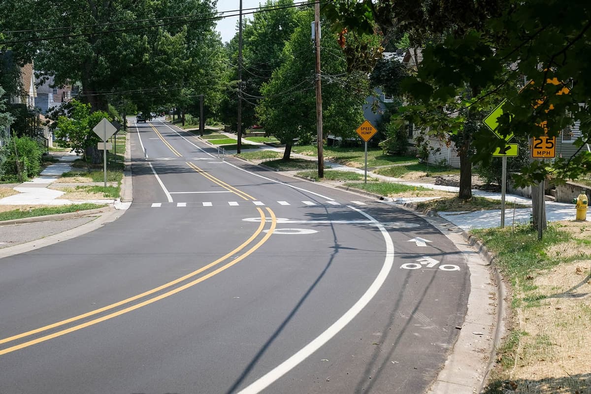
According to annual Crash Reports released by Trailnet, the most dangerous corridor in the City of St. Louis each of the past four years has been Grand Blvd. Grand is an 8.8-mile-long, North-South arterial road with posted speed limits up to 35 mph and as many as six lanes (incl. turn lanes). Grand hosts the city’s busiest bus route and runs adjacent to several public institutions. (hospitals, universities, parks, entertainment and business districts, etc.)
With a maximum 80-foot-wide right of way, minimal traffic calming infrastructure and travel lanes as wide as 15 feet, the corridor is poorly built to prevent speeding and reckless driving, both of which have been expressed as constant concerns by nearby residents. Considering the amount of access to local amenities and the number of public transit users on this corridor, it’s imperative that Grand Blvd safely and conveniently accommodate all road users.
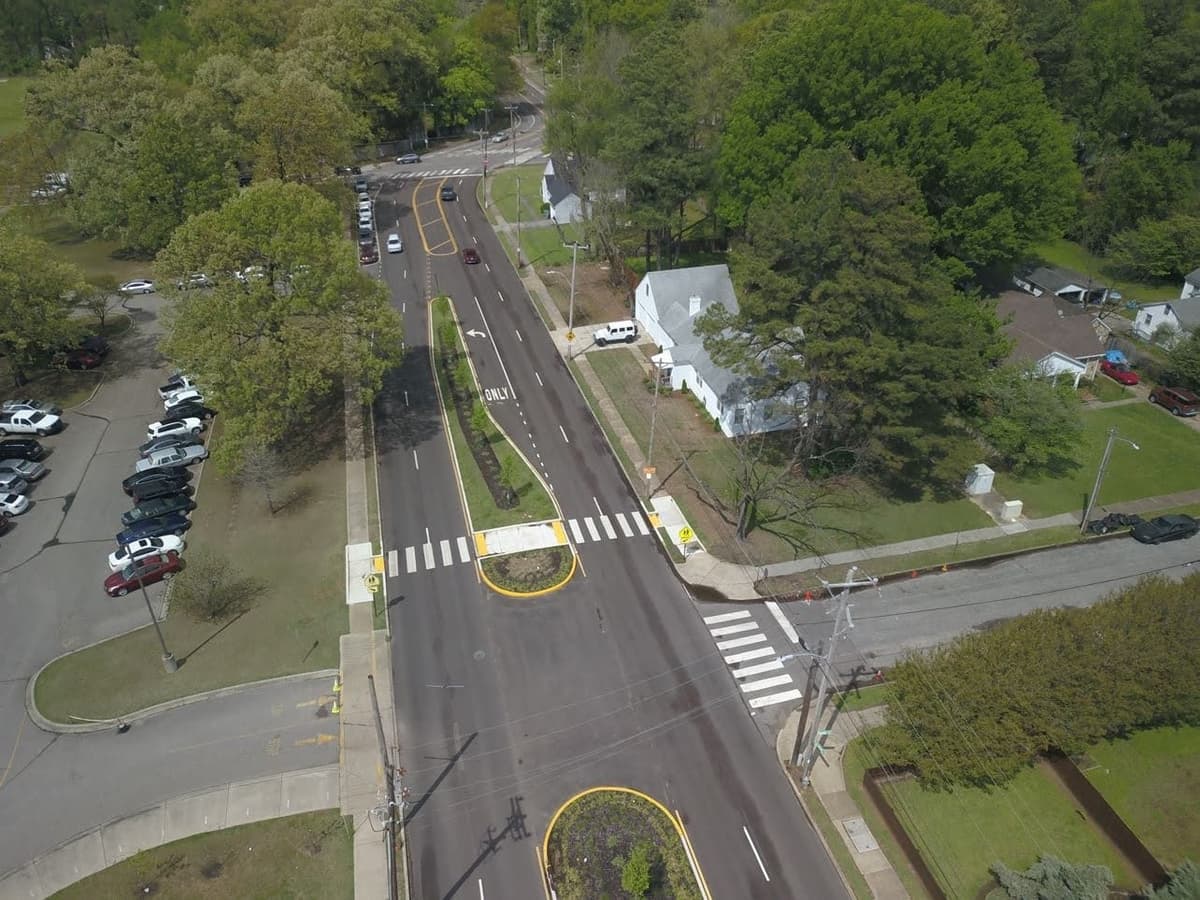
Similar to improvements made on Natural Bridge in St. Louis, a road that sees almost the same amount of daily traffic, Grand would benefit from a four-to-two-lane road diet. Enhanced pedestrian infrastructure (bump outs, mid-block crossings, pedestrian refuge islands, etc.), pedestrian-level lighting, priority improvements around transit stops and green infrastructure would also vastly improve roadway safety for all users along Grand.
Taking Action
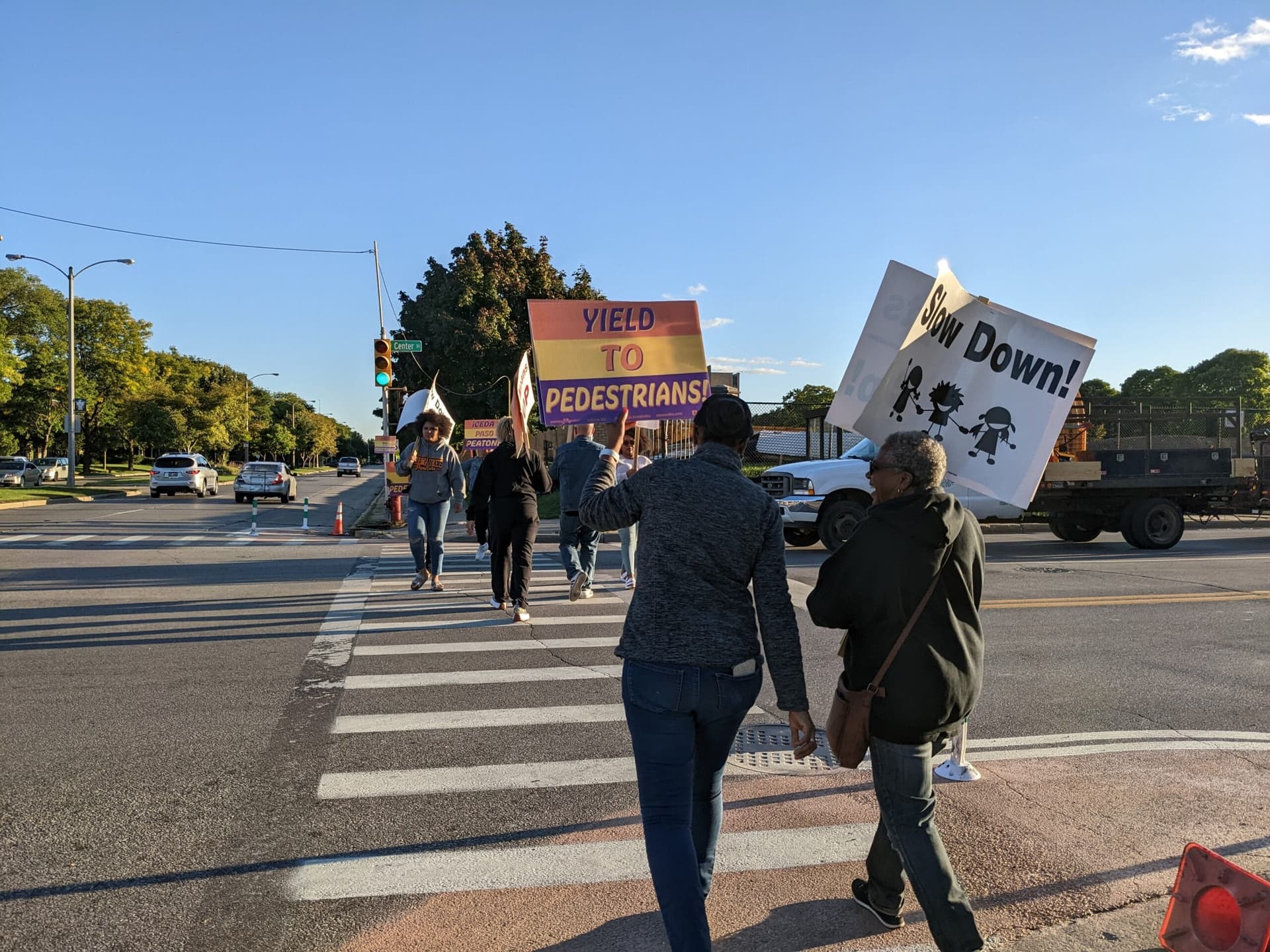
While the City of St. Louis has recently responded to targeted advocacy with signed policies and planned solutions to address their most dangerous streets, St. Louis County’s highest-crash corridors—W. Florissant Ave, St. Charles Rock Road, New Halls Ferry Rd, Chambers Rd, etc.—remain just as dangerous as ever with no effective solutions in sight.
The “St. Louis County Street Stories” project seeks to collect the personal experiences of North St. Louis County residents who live, work, and travel along the region's most dangerous corridors. These stories will be used to amplify the voices of neighbors whose streets are least safe; empower local advocates to join Trailnet in the fight for safer streets for all users; and encourage St. Louis County leaders to take concrete action.
“Year-after-year we are seeing the same trends—People walking and biking continue to die and be seriously injured on wide, high-speed arterial roads like Grand, Gravois, St. Charles Rock Rd, Halls Ferry and W. Florissant,” said Sam McCrory, Trailnet’s Community Planner and the primary author of the annual Crash Report. “At Trailnet, we want to see bold infrastructure improvements to drastically increase safety for people walking and biking in our region. We need to start actively planning the streets for people, not for the movement and convenience of vehicles.”


Livable places. Healthy people. Shared prosperity.


© 2026 Smart Growth America. All rights reserved
Site By3Lane Marketing
