


News
By Mae Hanzlik, April 24, 2023
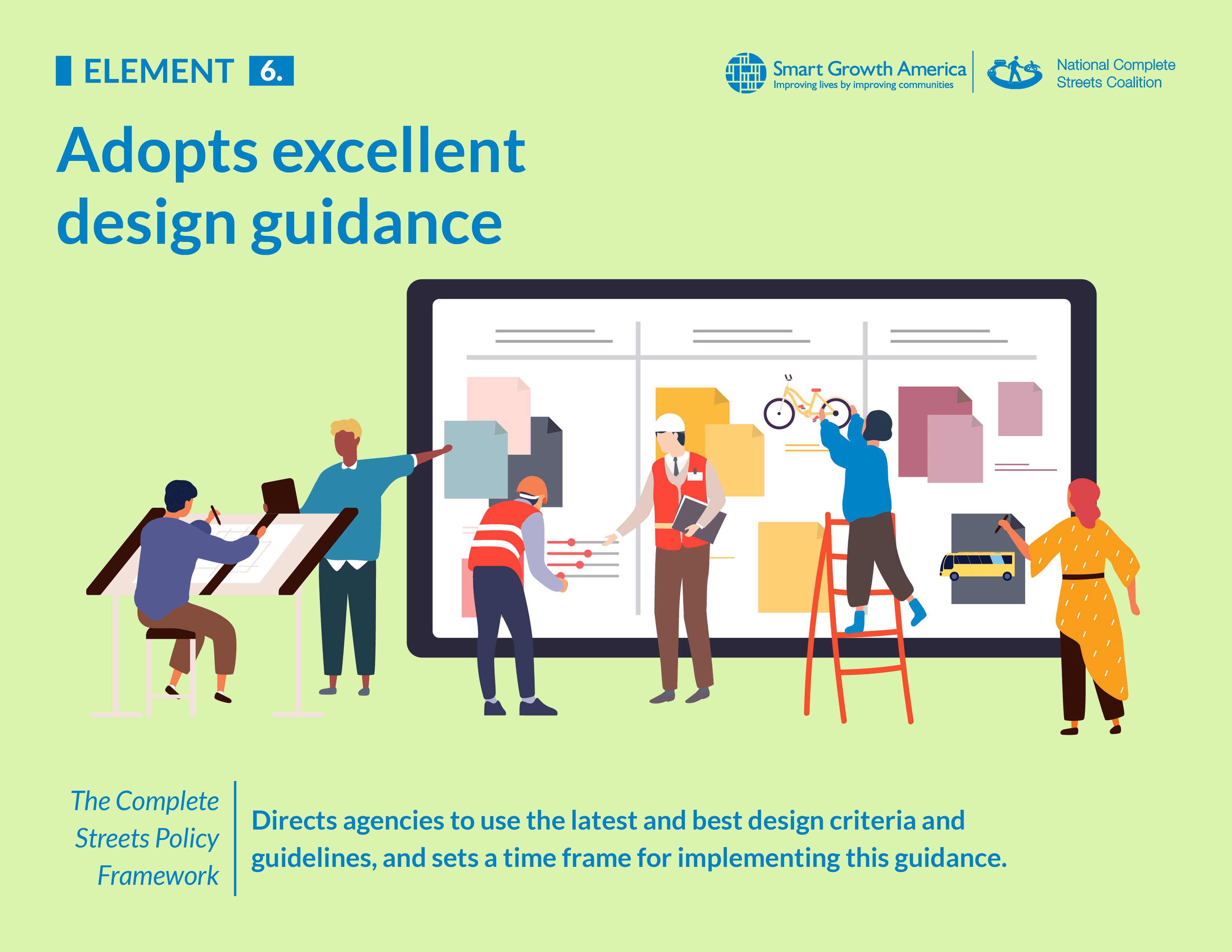
What facilitates the transition from a policy into tangible street designs? To bring a Complete Streets policy to life, engineers need to know how to design these streets in very clear, concrete terms. The best Complete Streets policies will adopt excellent street design guidance that directs and supports practitioners to create an accessible and complete network of streets.

Why is this element integral to a strong Complete Streets policy?
Adopting excellent design guidance equips your jurisdiction’s engineers with the practical information they need to design streets that reflect the vision of your Complete Streets policy. Design guidance bridges Complete Streets from policy to pavement.
But first, what is a design guide? Design guides are resources that help engineers determine the appropriate dimensions and characteristics of roadways. For example, they help engineers navigate questions around lane widths, speed limits, turning radii, crossing locations and markings, signal timings, traffic controls, and much more. Design guides are used in all phases of transportation projects from new construction and reconstruction to operations and maintenance. Typically, design guides are issued by national organizations and agencies like the Federal Highway Administration (FHWA), the American Association of State Highway and Transportation Officials (AASHTO), the Institute of Transportation Engineers (ITE), and the National Association of City Transportation Officials (NACTO). State and local agencies may also choose to create their own guidance, and in those instances they will often adapt existing guidance.
But not all guides are created equally, and some jurisdictions still rely on design guides that use highway engineering principles and prioritize vehicle throughput over all other uses of the street. For example, encouraging wider lanes and fewer crossings, in order to move vehicles more efficiently, is often done at the expense of safety and mobility for anyone not in a vehicle. This kind of guidance is at odds with the Complete Streets approach. The National Complete Streets Coalition believes that the strongest Complete Streets policies need to adopt specific, best state-of-the-practice design guidance and/or require the update of internal design policies and guides. In order to effectively design a Complete Streets street network, engineers need design guidance that includes both specific standards and explicit flexibility to accommodate all users and modes, and prioritize safety for vulnerable roadway users. (The next section contains some examples of what the Coalition considers best, state-of-the-practice design guidance.)
“A common barrier to implementation of Complete Streets policies are outdated design protocols with both state and local governments. Even when design engineers want to advance Complete Streets design solutions, they are often limited by design standards, guidelines, forms, and manuals that haven’t been updated to support their Complete Streets policy and align with the needs of their communities. This element rewards governments that are able to align their design doctrine with their Complete Streets policies.”
– Mike Jelen, PE – Principal Director, WSP
What does this element look like in practice?
When it comes to design guidance, the jurisdictions with the strongest Complete Streets policy will do two things: 1) direct the adoption of specific, best state-of-the-practice design guidance and/or outline which internal design guidance it plans to revise or develop and 2) set a timeline for implementing the guidance.
There are a number of existing design guidance documents that can help your jurisdiction build out a complete network of streets. Moreover, since design procedures and protocols continue to evolve, organizations like NACTO, ITE, and AASHTO are constantly releasing new, updated editions. While some jurisdictions adopt existing design guidance outright, others use said guidance to revise or develop their own internal design guidance documents. Regardless of whether you choose to adopt something existing or develop your own, it is crucial to set a timeline for implementation. At what date are engineers required to use the newly adopted guidance? When will you plan to have a draft and final version of your internal guidance ready? When do you plan to revisit and review your guidance to ensure it is still the best state-of-the-practice?
For the most part, jurisdictions have the ability to select appropriate design guidance for their community. In the past sometimes cities ran into issues with their state prohibiting certain design guidelines. However, thanks to a rule change in the 2021 infrastructure law, for federally funded projects, localities can use safer street design guidelines approved by the FHWA (such as those from NACTO), even if their state has prohibited them from doing so.
Some examples of what the Coalition considers best, state-of-the-practice design guidance:
Note: This is not a comprehensive list of all the state-of-the-practice design guides, and also reflect what was available in April 2023.
- Small Town and Rural Multimodal Networks (FHWA)
- Separated Bike Lane Planning and Design Guide (FHWA)
- Achieving Multimodal Networks: Applying Design Flexibility and Reducing Conflicts (FHWA)
- Guide for the Planning, Design, and Operation of Pedestrian Facilities (AASHTO)
- Guide for the Development of Bicycle Facilities (AASHTO)
- A Guide for Achieving Flexibility in Highway Design (AASHTO)
- Designing Walkable Urban Thoroughfares: A Context Sensitive Approach: An ITE Recommended Practice (ITE)
- Urban Street Design Guide (NACTO)
- Transit Street Design Guide (NACTO)
- Urban Bikeway Design Guide (NACTO)
- Urban Street Stormwater Design Guide (NACTO)
- Public Rights-of-Way Accessibility Guidelines (PROWAG) (United States Access Board)
Policy scoring details
In our framework for evaluating and scoring Complete Streets policies, this element is worth a total of 7 out of 100 possible points.
- 5 points: Policy directs the adoption of specific, best state-of-the-practice design guidance and/or requires the development/revision of internal design policies and guides.
- (1 point) Policy references but does not formally adopt specific, best state-of-the-practice design guidance.
- (0 points) No mention.
- 2 points: Policy sets a specific time frame for implementation.
- (0 points) No mention.
Related News


Livable places. Healthy people. Shared prosperity.


© 2026 Smart Growth America. All rights reserved
Site By3Lane Marketing
