


News
By Steve Davis, April 24, 2023
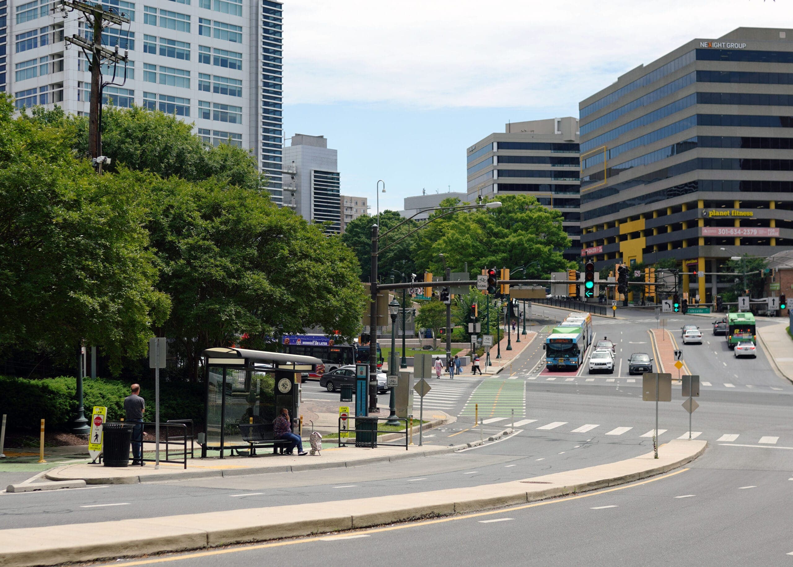
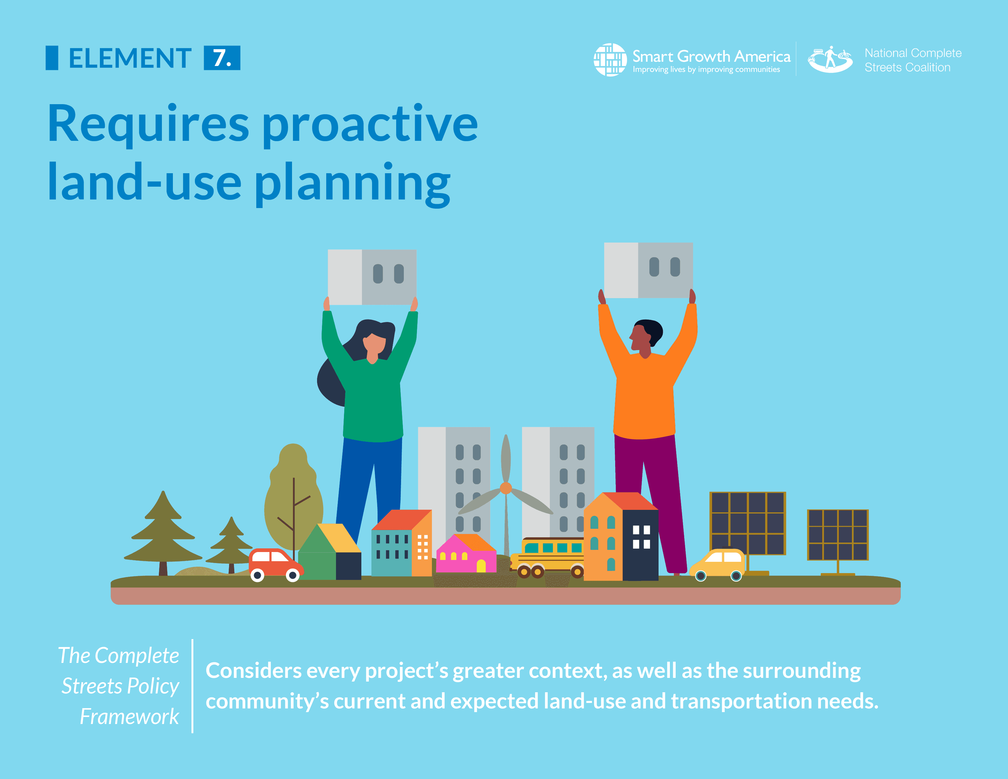
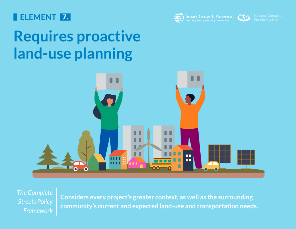
Streets don’t exist in a vacuum. They are inextricably connected to the buildings, sidewalks, spaces, homes, businesses, and everything else around them that they serve. The strongest Complete Streets policies require the integration of land-use planning to best sync up with a community’s desires for using and living on their land today and in the future.
Why is this element integral to a strong Complete Streets policy?
Streets are tools that we use to connect us to destinations. They provide spaces for us to gather and move around, and create a framework for creating and capturing economic value so we can build productive places with opportunity for everyone. They are a means to an end, serving the places and spaces between all the streets. This element recognizes this fundamental truth by requiring coordination with land-use planning and clearly defining how a Complete Streets effort will serve current and future land uses.
“People don’t care what the underlying transportation function of a street is. What we care about is whether we can safely and reliably use our streets to access the places we want to go, on foot, by bike or transit, or by car. This element supports integrative decision-making by matching street designs with the planned land use context and adopting a diverse mix of land uses that encourage shorter trips. This makes the places we want to go safer and easier to get to.”
– Drusilla van Hengel – Principal, NelsonNygaard
What does this element look like in practice?
In the simplest terms, this element requires a jurisdiction’s land-use policies (including but not limited to plans, zoning ordinances, or similar documents) to specify how these other non-transportation plans will both support and be supported by the community’s Complete Streets vision. For example: A community has a Complete Streets policy and it comes to bear on a project to retrofit an existing street that runs through an area zoned or earmarked in the city’s comprehensive land-use plan for greater density and a mix of uses, perhaps neighborhood-serving retail with multi-family housing like apartments or row homes. But those buildings haven’t been built out yet or are in progress.
In this specific example, a Complete Streets policy receiving maximum points would require the transportation agency to incorporate a Complete Streets approach in future land-use plans for this area and consider the needs not just of today’s users of that street, but those who will be using it in the coming years as new buildings are built next to the sidewalk and more residents and businesses come to the area. This contrasts with the approach of the old paradigm, which would just look at a street running through an area without any mix of uses, people, or activity and make decisions that ignore zoning maps and comprehensive land-use plans. There may not be an opportunity to rebuild the street for a decade or more, so build the street to serve the place that’s envisioned in the land-use plans, rather than the place it once was.
This is the kind of tight integration between land-use and transportation that is required by the strongest Complete Streets policies. Land-use considerations should be deeply embedded into the processes and plans of the transportation planners and their departments.
Complete Streets are also reflective of the needs of the surrounding community and are designed to serve them, so strong policies always consider that context throughout the process. It’s also an unfortunate reality in most places that transforming certain streets to be less dangerous and better serve everyone in those communities can also make those areas more attractive for future development, so a forward-looking policy will specify a need to address potential unintended consequences—like the displacement of residents due to rising costs of living—while still prioritizing streets that serve everyone.
Policy scoring details
In our framework for evaluating and scoring Complete Streets policies, this element is worth a total of 10 out of 100 possible points.
For municipality/county policies
- 5 points: Policy requires new or revised land-use policies, plans, zoning ordinances, or equivalent documents to specify how they will support and be supported by the community’s Complete Streets vision.
- (4 points) Policy requires new or revised transportation plans and/or design guidance to specify how transportation projects will serve current and future land use, such as by defining streets based not just on transportation function but on the surrounding land use.
- (2 points) Policy discusses the connection between land use and transportation or includes non-binding recommendations to integrate land use and transportation planning.
- (1 point) Policy acknowledges land use as a factor related to transportation planning.
- (0 points) No mention.
For state/MPO policies
- 5 points: Policy requires new or revised long-range transportation plans and/or design guidance to specify how transportation projects will serve current and future land use such as by directing the adoption of place-based street typologies.
- (2 points) Policy discusses the connection between land use and transportation or includes non-binding recommendations to integrate land use and transportation planning.
- (1 point) Policy acknowledges land use as a factor related to transportation planning.
- (0 points) No mention.
For all policies
- 3 points: Policy requires the consideration of the community context as a factor in decision-making.
- (1 point) Policy mentions community context as a potential factor in decision-making.
- (0 points) No mention.
- 2 points: Policy specifies the need to mitigate unintended consequences such as involuntary displacement.
- (1 point) Policy acknowledges the possibility of unintended consequences.
- (0 points) No mention
Related News


Livable places. Healthy people. Shared prosperity.


© 2026 Smart Growth America. All rights reserved
Site By3Lane Marketing
