


News
By Steve Davis, November 8, 2007
I’ve seen this photo in a handful of places this week. It’s an illustration from the city of Munster, Germany, and can be found on the city’s website:

As you may be able to tell, it’s a visual illustration of how much roadway space the same number of travelers take up in individual cars, a bus, or on bicycles. This is not the first visual illustration of its kind that I’ve seen. This other one was from Blueprint Denver, but was originally photographed and conceived by the Tampa Planning Department, I believe (click to enlarge).

As these photos remind us, it’s always so much easier to visualize how efficient other forms of travel can be in terms of space required. It takes it out of the abstract and into the concrete. And the basic fact is that spatially, bikes, pedestrians, and buses are much more efficient users of city street space.
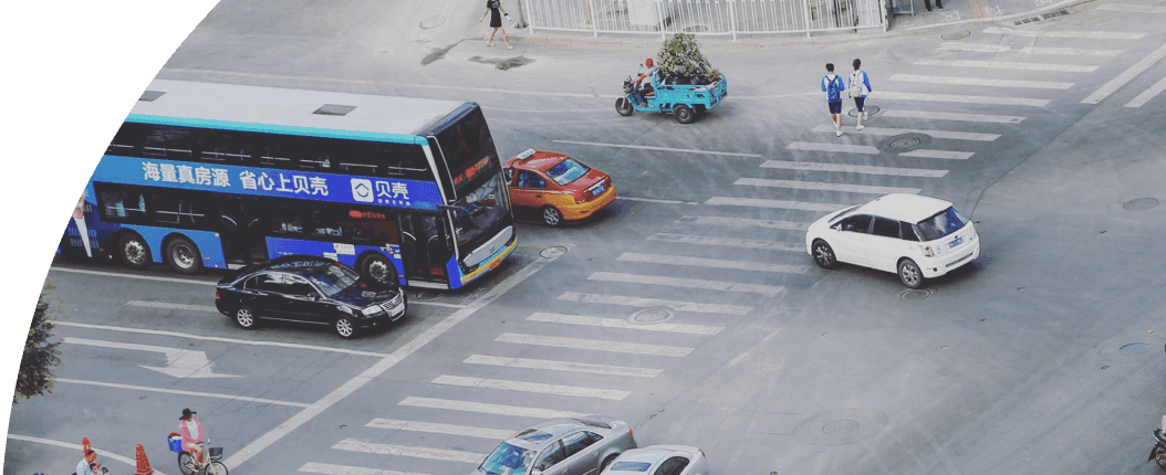
How often do people complain about that large bus clogging up the road with the frequent stops. It’s easy to see how much worse the traffic would be if all of those people on the bus were instead driving in single-occupant vehicles.
It reminds me of a number I read on Richard Layman’s blog a while back that came from a presentation by Jeff Tumlin, who is a transportation expert at Nelson-Nygaard Transportation Consulting. He says:
One road-mile of road lane can move in one hour:
2,000 cars on a limited access freeway
800-1,300 cars on artertials and surface-type streets
OR
6,750 people riding buses
10,000 people on Bus Rapid Transit
15,000 on light rail
It’s just a reminder that cars are certainly not the problem per se, but dedicating so much of our space to moving and storing them is a terribly inefficient use of roadways and urban real estate, especially within our core cities.
Related News


Livable places. Healthy people. Shared prosperity.


© 2025 Smart Growth America. All rights reserved
Site By3Lane Marketing
