


Our Work
Programs & coalitions
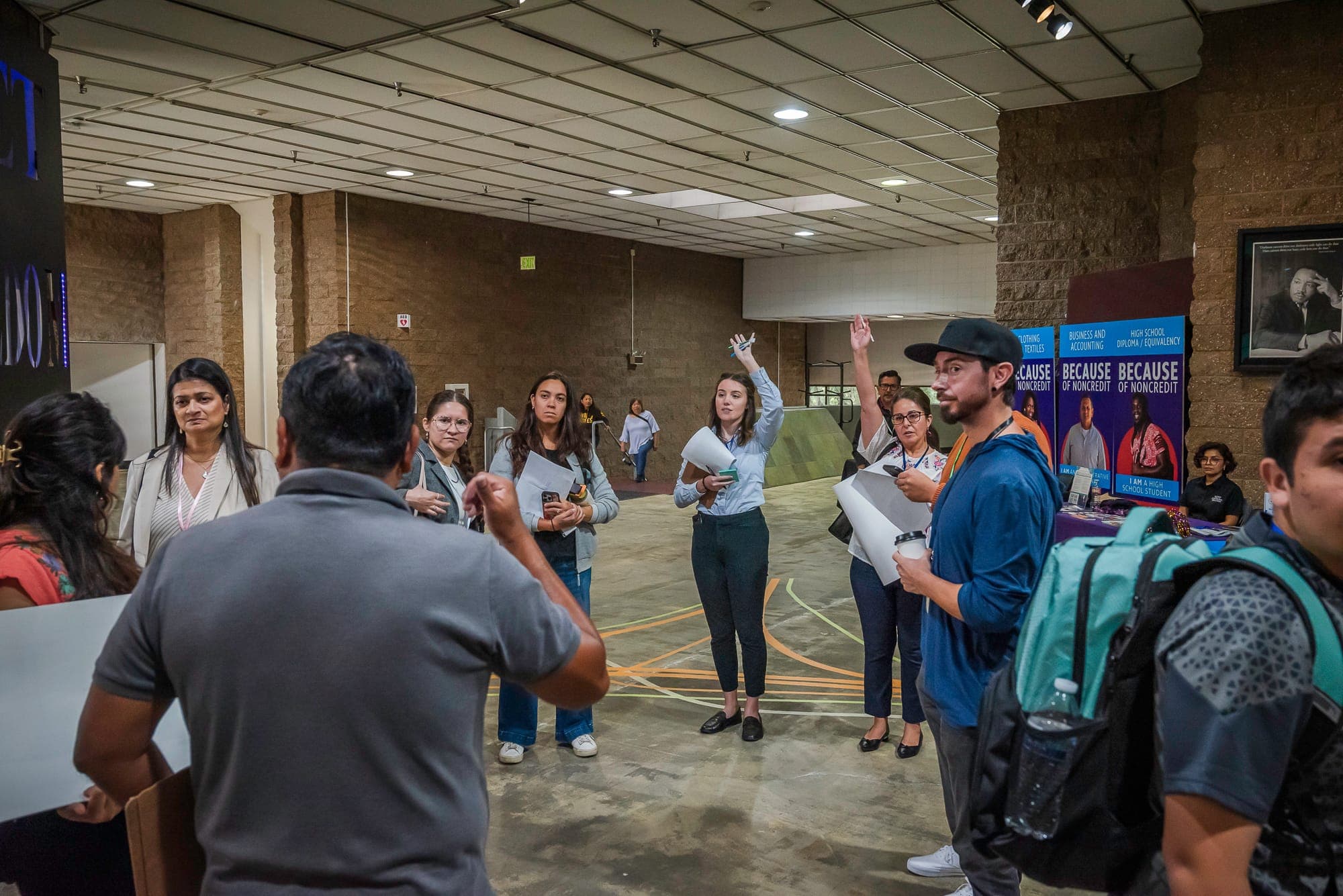
At Smart Growth America, our various programs and coalitions work collaboratively to shape communities where people thrive. Through research, advocacy, and hands-on support, our network of advocates, decision-makers, and field experts work together to advance policies and practices that help communities become more healthy, prosperous, and resilient.
Programs and Coalitions

The National Complete Streets Coalition is the go-to collective for human-centered urban design, making streets safe and accessible for everyone.
The Center for Zoning Solutions is reimagining zoning laws to make the dream community a reality, one code at a time.
T4A is a dynamic coalition that sees a future where transportation is more than just cars: it's an interconnected web that supports safety without compromise and serves everyone, everywhere.

LOCUS advocates for real estate policies that are as economically viable as they are socially responsible and environmentally sound.
The National Brownfields Coalition is leading the charge to transform Brownfields into viable community assets.
The State Smart Transportation Initiative is hitting the policy drawing board, brainstorming ways to make state transportation smarter, more effective, and future-proof.
The Arts & Culture Program breathes creativity into the Smart Growth movement, sparking revolutionary change within and outside SGA and beyond.
Smart Growth Network
The Smart Growth Network is a national alliance of organizations that brings together advocates, practitioners, policy makers, and local leaders working towards a shared vision for land use and infrastructure policies and actions that result in healthy, sustainable, equitable, and prosperous communities for all.
Smart Growth Roundtable
The Smart Growth Roundtable is made up of leaders from state, regional, and local organizations across the country focused on pioneering smart growth strategies.


