


News
By Mae Hanzlik, April 23, 2020
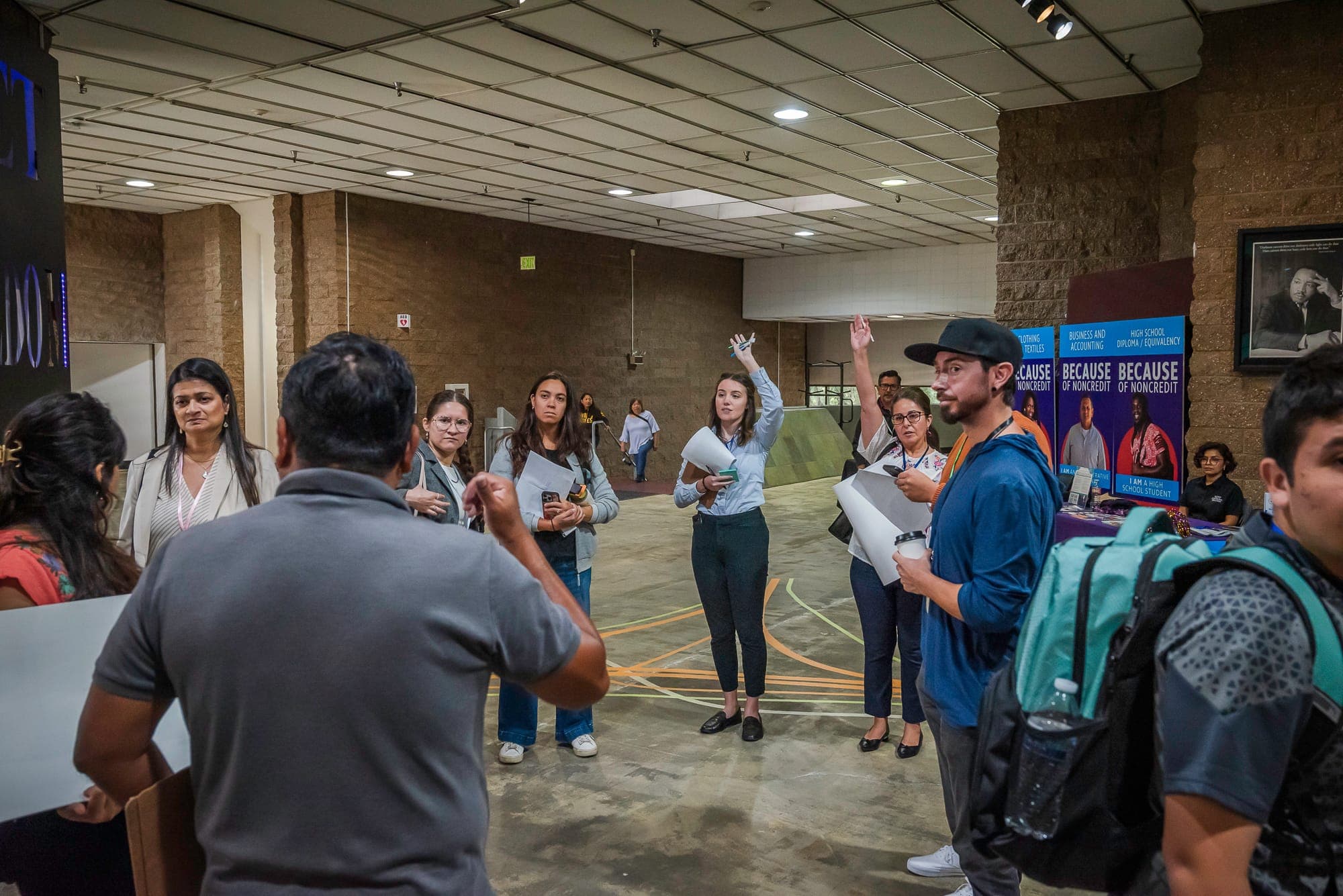
In our latest installment of our monthly webinar series Complete Streets 301: Putting people first, we heard how Minneapolis has worked to prioritize pedestrians and advance multimodal transportation through advocacy, policy, and safer street design. A recording of the webinar is now available. You can also download a pdf of the presentation or read the brief recap below.
A Discussion Recap
Emiko Atherton, Director of the National Complete Streets Coalition and Vice President of Thriving Communities, started the webinar by welcoming participants and noting that while this webinar was scheduled far before COVID-19, the importance of prioritizing pedestrians remains relevant. She argues that now, more than ever, we are seeing the need for livable, walkable, rollable, bikeable streets. To help disseminate information and resources, the National Complete Streets Coalition has put together a page mapping transportation-related community responses to the pandemic.
Before introducing the guest speakers, Emiko emphasized the importance of moving from policy to practice and that the strongest transportation policies will include strong implementation and equity guidelines and requirements. This was one of the main reasons why the Coalition updated our Complete Streets policy framework at the end of 2017.
Next, participants heard from Janice Park, Senior Transportation Manager, and Isaac Shapiro, Enterprise Customer Success Manager at Remix. Remix is a transportation technology company that has worked with over 325 cities around the world on street design, data analysis, and transportation planning. Through their tool, Remix seeks to assist cities with making informed decisions, exploring design options, and effectively collaborating with stakeholders and community members.
Trey Joiner, Associate Transportation Planner at the City of Minneapolis, spoke about a recent bikeway improvement project in Minneapolis and how he used the Remix platform to assist with project designs. Trey also touched on the many policies and plans that inform street design in Minneapolis including the city’s Complete Streets Policy and Vision Zero Action Plan.
Finally, we heard from Ashwat Narayanan, Executive Director of Our Streets Minneapolis. Our Streets Minneapolis is a local non-profit that works to make biking, walking, and rolling in Minneapolis easy and comfortable for everyone. Ashwat provided an overview of the transportation challenges and opportunities in Minneapolis, their programming, and their vision for transportation in Minneapolis moving forward.
Questions?
We had so many great questions during the Q&A section of the webinar that we couldn’t get to all of them. We followed up with Janice, Isaac, Trey, and Ash to discuss answers to some of the questions we missed.
Q: Where did the traffic proximity and volume data for the project come from? Was that provided by MNDOT?
TJ: Traffic counts were derived from multiple sources: three day 24-hour video counts, 24hr tube counts, and Streetlight data pinged from cellular GPS data.
Q: Is Remix a tool that planning consultants can use or just cities/counties/agencies?
JP: Remix primarily contracts directly with cities, counties, transit agencies, MPOs, transit operators, etc, but we do work with consultants as third-party users for our customers.
Q: In one of Ashwat’s slides he mentioned removing level-of-service (LOS) as a metric. What do you think would be a better approach to incorporate the needs of all modes?
AN: There are a few options when it comes to replacing LOS. Thanks to Chris McCahill at SSTI for helping answer this question.
- In traffic impact assessments, cities can use TDM and “modern mitigation”. Here’s a great overview by SSTI.
- California replaced LOS with VMT for environmental reviews. Here’s a Streetsblog article that describes the legislation, and here’s the guidance from the Governor’s Office of Planning and Research.
- DOT’s can use accessibility instead of LOS in project selection. Here’s an example from Virginia.
Q: The curb extension in the design doesn’t seem to be rounded. Is there a reason for that?
TJ: Speaking from the 90 percent plans and at the intersection of 5th Ave SE and E Hennepin Ave there were only two curb extensions along the northerly half of E Hennepin Ave and curb modifications on the southern half to better align vehicle site lines at the intersection. The curb extension at the west quadrant wasn’t rounded due to the off-street bikeway transitioning to an on-street buffered bike lane being delivered via the county’s resurfacing.
Q: How can advocacy organizations push for better pedestrian and bicycle design if we have a city council that is much less receptive to or outright antagonistic toward Complete Streets planning?
AN: This really comes down to building support among the general public for better streets. Advocacy organizations have to do the hard work of community organizing and deep relationship building to be able to turn people out and demonstrate power in support of streets that put people first. Advocacy organizations like ours use this power to also hold elected officials accountable, or move them towards the positions we take.
Transportation advocacy organizations also need to do “grasstops” organizing where we have to meet with elected officials and help educate them on how better transportation decisions help achieve collective community goals. Some of these benefits may not be immediately apparent to elected officials who are dealing with many different issues simultaneously. In Minneapolis, we are lucky to have the support of powerful local elected officials who believe strongly in biking, walking, and rolling.
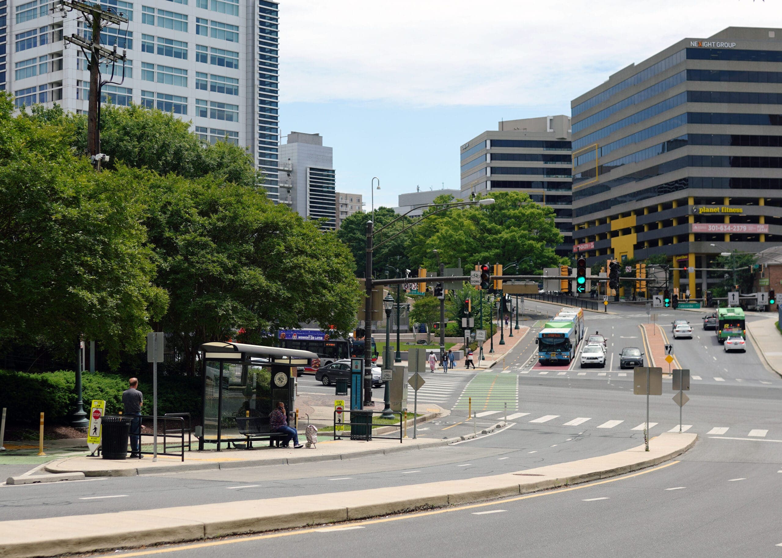
Q: How would/do you accommodate pedestrians on major arterials with 6-8 lanes and speed limits of 45 mph?
TJ: There are national best practices available to practitioners who are seeking guidance on designing streets to a complete street standard. In the context of the question, I’d advise a strategy that re-evaluates the need for the general purpose lanes. This is the approach the Presidents Bicycle Blvd project team took. The county’s data-driven approach to reducing the four general purpose lanes to two lanes understood that with trends in changing land use and annual average daily traffic (AADT), four lanes were incompatible with the types of expected users. The county’s change allowed for the city-led project to truly prioritize users who were experiencing the most barriers to travel.
NACTO Guidance:
- https://nacto.org/publication/urban-bikeway-design-guide/
- https://nacto.org/publication/urban-street-design-guide/
- https://nacto.org/publication/urban-bikeway-design-guide/dont-give-up-at-the-intersection/
Federal Guidance:
Q: Can Remix be used for micromobilty planning?
JP: Yes, we have a micromobility management platform! You can find more information here: https://www.remix.com/solutions/shared-mobility.
Q: To what extent have Minneapolis and Metro Transit worked to convert their data into Remix or is the Remix tool used by just one of the agencies or just by advocates? To what extent was that tool used as part of the Presidents Bike Boulevard process?
TJ: The city collaborates with Remix as opportunities arise to incorporate modal data into the Remix software. Currently, Minneapolis is working with Remix to visualize our modal turning count data within the application itself. Primarily the street design tool was used to dynamically develop and share concepts with internal divisions and external project partners like the county and Metro Transit.
Q: Regarding the proposed condition crosswalk, what are the safety elements that were added to make this crosswalk safer if the current location already has a Rectangular Rapid Flashing Beacon (RRFB) system? Also, is there any feedback that having an RRFB system gives a false sense of safety compared to a traffic signal, even if a traffic signal may not be warranted at this location?
TJ: The existing condition was an overhead flashing beacon, not an RRFB. Also, the traffic signal will likely meet a number of safety and volume traffic warrants. Since the installation of the overhead flashing beacon in 2014 which included new crosswalks, no other enhancements have been installed. Speaking to the RRFB and perceived safety concerns, early concepts for the project included the installation of 4 new RRFB poles at each quadrant, in addition, a new compliant overhead RRFB with 1-2 pedestrian refuges. During the development of the project, 3 pedestrians were hit and injured which spurred the project team to consider a higher form of protection. The initial concept which included the pedestrian refuges did draw some comments from members of the project team who anticipated circumventing vehicular movements to occur over the on-street bikeway when the beacons were activated due to the lack of dedicated turn lanes.
Related News


Livable places. Healthy people. Shared prosperity.


© 2025 Smart Growth America. All rights reserved
Site By3Lane Marketing
