


News
By Steve Davis, March 25, 2010
 |
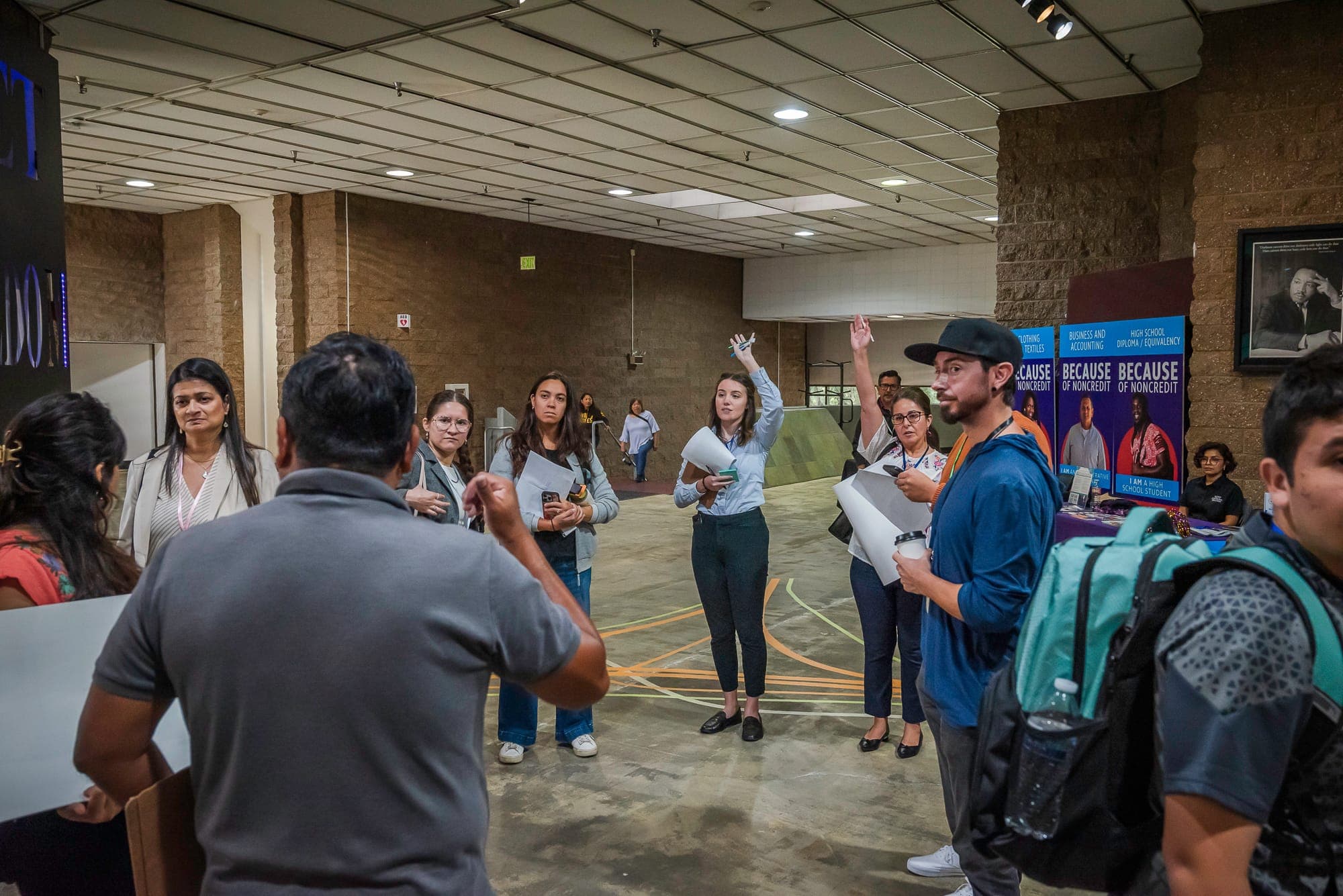
| The administration’s Partnership for Sustainable Communities testifies before Congress, representing Housing, Transportation, and the Environment. Photo from DOT. |
This is part one of a two-part series. Read part two here.
From the President down to the Secretary of Transportation, administration officials have spent the year vocally supporting a focus on livability from the federal government — doing what’s in their power to encourage smarter, people-centric planning to create more great places to live where residents have numerous options for getting around and a high quality of life. Perhaps unsurprisingly in this polarized white-hot political era, there’s been a backlash in Congress from some rural legislators.
But isn’t livability really a quintessential small-town value? Shouldn’t these legislators be the foremost advocates for the federal government encouraging states to repair their roads and bridges before building new ones, making walking and biking safer to boost mobility in places where transit isn’t quite feasible and encouraging growth in historic small town Main Streets across America?
Bear with me for a personal story as I try to get to the bottom of that question. Part one is below, part two will run tomorrow. Read part two here.
—
Before coming to Washington, D.C. to work for Smart Growth America, I was a journalist for two years in Bentonville, Arkansas, a small yet booming town in the northwest corner of the state, most notorious as the birthplace of Walmart and the base of worldwide operations to this day. When my wife and I arrived in 2004, the city of somewhere around 30,000 was struggling to keep up with a frenetic pace of growth, largely fueled by Walmart’s expansion and the influx of Walmart vendors that gained momentum in the decade after Sam Walton’s death in 1992.
Planning commissioners and the city planning staff were treading water in an endless struggle to stay ahead of the pace of growth and demand for new housing. There were some terrific farsighted people in the city planning department, but there was little city-wide vision or consensus for what anyone wanted the city to look like in 30 years, and little time to think about it in the rush to grow. Though there was ample available land to build on in the old core of the city close to schools and jobs, it was generally easier (and more lucrative) for developers to go to the edge of town on one of three state highways, subdivide farmland or open space and throw down a subdivision of new houses with cul-de-sacs.
 |
When moving to town, we deliberately chose to live as close as possible to the old town square, the focal point of the city since it was platted in the 1830’s. We wanted to be close to our office just off the square and though we liked the idea of walking to the downtown grocery store or the park around the corner, rents and home prices were also generally lower in the historic core of the city, with the influx of new residents with higher incomes fueling the construction on the edge of town, at least in part. (Speculation played quite a role as well, as evidenced by the unfinished subdivisions today.)
Though the old part of the city was dominated by single-family homes as well, the new growth took on an entirely different form from the older portion of the city.
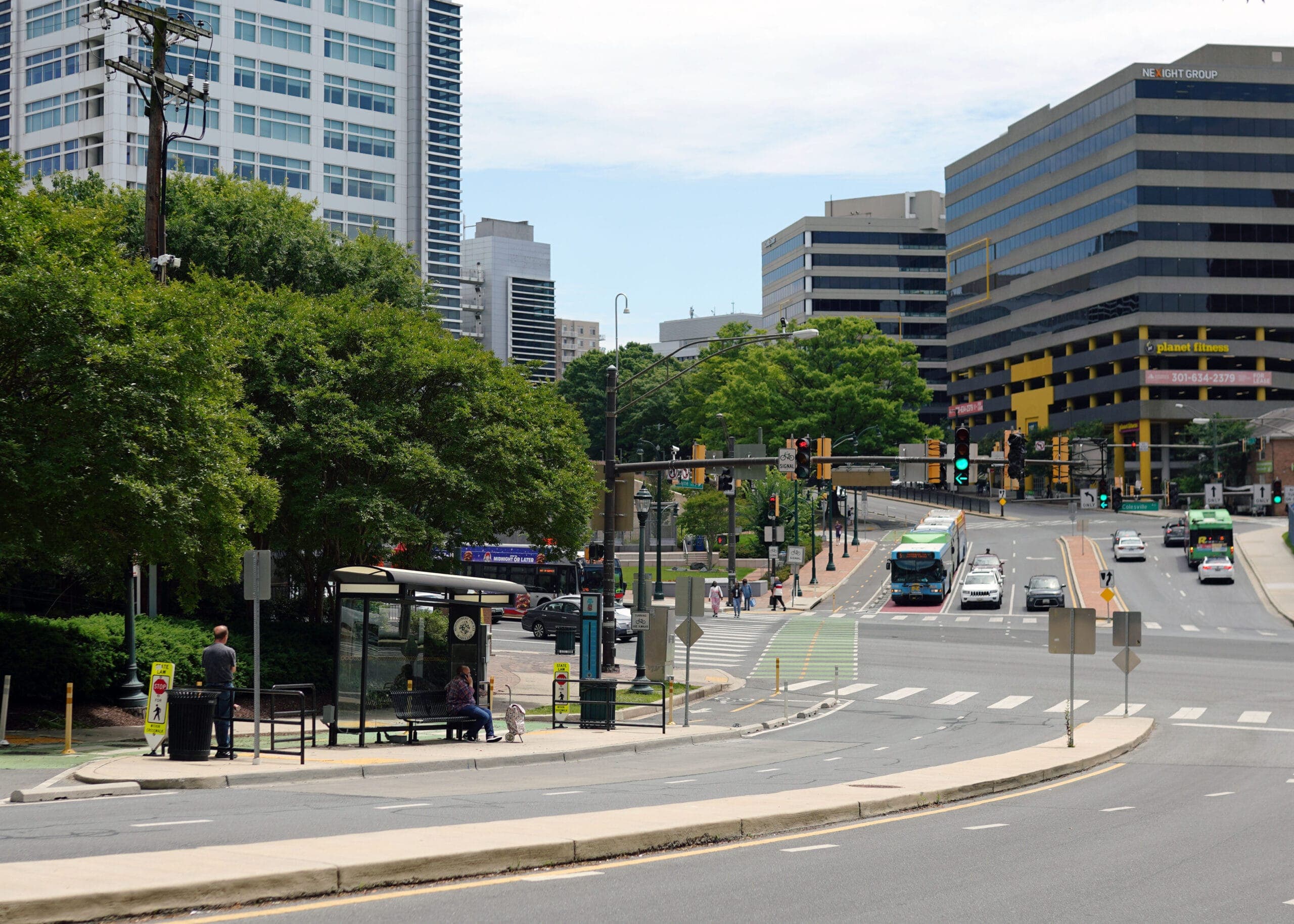
In the photo below of part of the core of Bentonville, there is a Walmart, at least one major employment nexus for the region (Walmart HQ), office space, a grocery store, an elementary school, a historic middle school, the city library, a nursing home, a dozen restaurants, dry cleaners, a coffee shop, several parks, a bike trail, at least 4 churches, and thousands of homes ranging from small garden apartment buildings to townhouses, modest single-family homes, and expensive preserved or restored historic homes costing hundreds of thousands of dollars.

Like most small towns and cities across America, the older part of the city was laid out on a street grid, uses were often mixed and most people living in the houses in the photo above can get to a meaningful destination on foot, and nearly all can get to at least a few basic necessities with a short drive.
Contrast that with the form of growth that represents much of the last 10-15 years in Bentonville as their city limits expanded southwest along a state highway to the new regional airport. There’s a Walmart distribution center, houses of varying sizes and price points all separated from one another, farmland and former farmland, a couple office buildings and absolutely zero mix of uses.

Most neighborhoods have sidewalks due to a city ordinance, but none of them go anywhere outside of the subdivisions. There are restaurants, stores and other amenities somewhat close to this side of town, but every single one of them requires a drive, unless you’re willing to brave a walk in the shoulder of a highway — which some have no choice about.
 |
Growth was happening so fast that there was little very long-range planning possible to ensure that the new parts of the city would be as enjoyable and as livable as the older parts. The city did have a comprehensive plan, but the planning commission didn’t always follow the plan or recommendations from the planning staff.
Unsurprisingly, with growth focused along just a few highway corridors and little option (like the street grid provides) for secondary routes, traffic along these state highways west and southwest of town soon turned into gridlock. Land use decisions seemed to be completely disconnected from transportation planning. (Also complicating matters was the fact that the city couldn’t improve many of the main corridors as they were state roads under the purview of the Arkansas Highway and Transportation Department.)
So when gas prices made their historic march up to the 3 and 4 dollar territory in 2005, how would the effects be felt in these two very different parts of Bentonville? And what in the world does livability have to do with any of it?
Click here to read part two of this story.
Overhead imagery from Google, DOT/EPA/HUD photo from the DOT Fastlane blog, all other photos by Stephen Lee Davis.
Related News


Livable places. Healthy people. Shared prosperity.


© 2025 Smart Growth America. All rights reserved
Site By3Lane Marketing
